
Professional Summary
Environmental Engineer specialized in Spatial Technologies with GIS, Project Management, and the fields of Meteorology and Climatology. Extensive experience in web development, GIS applications, maps, and geospatial tools. Entrepreneur in creating a meteorological network in collaboration with 20+ government and private entities. Specialties include: familiarity with European environmental regulations, cartographic design and geospatial analysis using ArcGIS and Leaflet, database management (SQL, Access, Excel), climate model and map creation, and proficiency in HTML, CSS, JavaScript, R, and Python. Enthusiastic about self-directed learning and continuously expanding skills independently.
Skills
Projects
Meteorology/Climatology
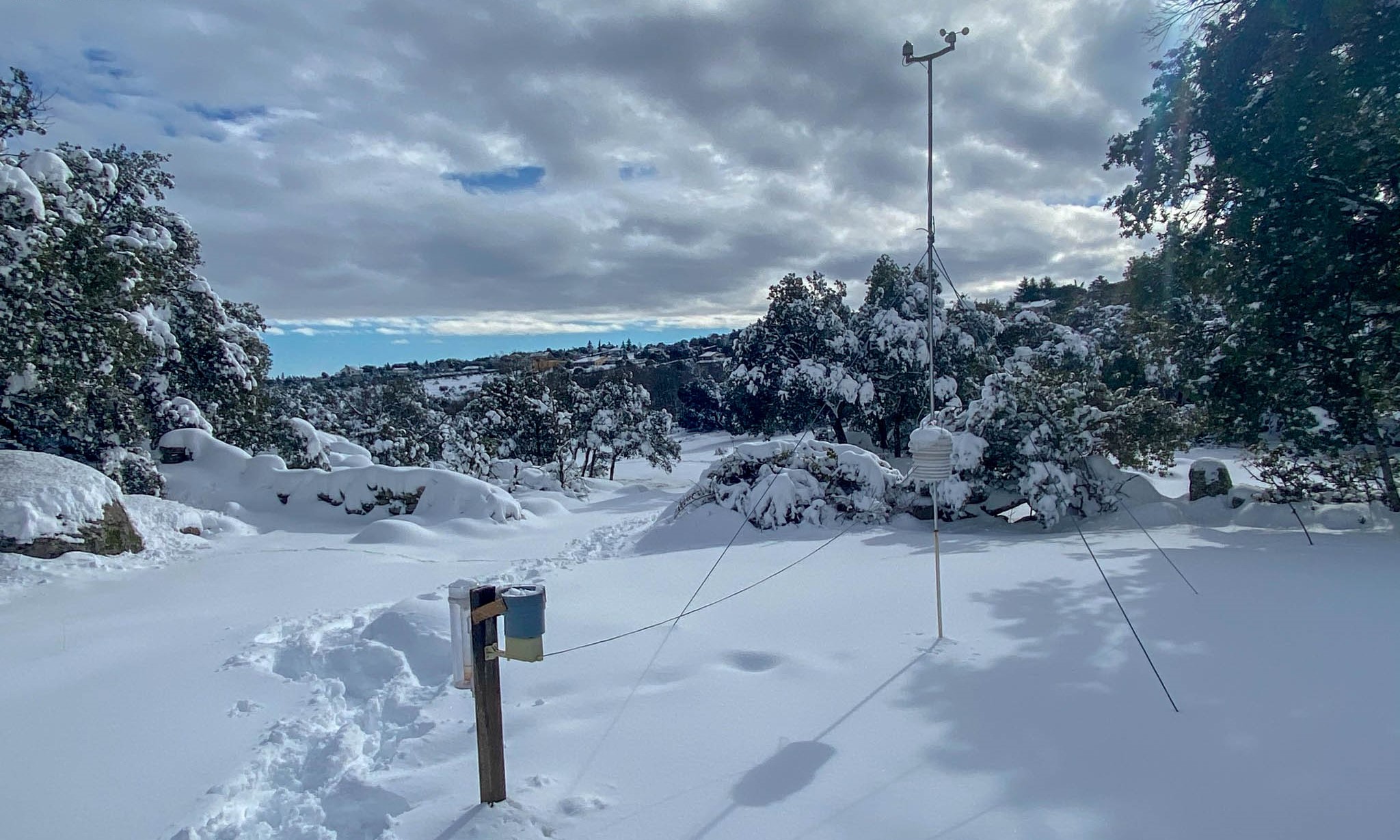
Creation of a weather network with weather stations and webcams for real-time weather monitoring, as well as the development of a climatic database. Collaboration with various public and private entities.
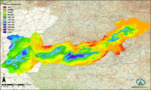
Extensive climatic study of the Central System, involving the analysis of more than 700 weather stations and the creation of 140 maps through multivariable interpolation. Climate parameters obtained for over 1,600 geographical points in Spain and Portugal.
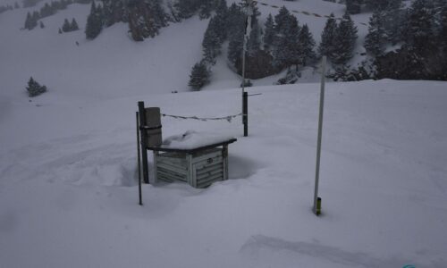
Analysis and localization of AEMET’s snow poles, with data uploaded to the National Climatic Data Base.
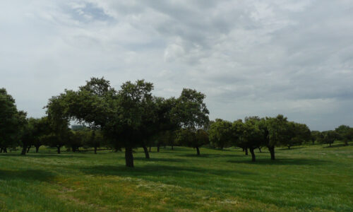
Analysis of climatic averages for the period 1986-2015 in pure and mixed stands of holm oak (Quercus ilex) and Aleppo pine (Pinus halepensis) in Spain.
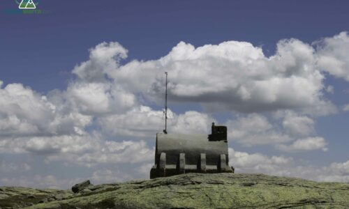
Set of weather stations and snow depth sensors that form the GUMNET network in the Sierra de Guadarrama National Park.
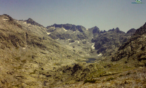
Data on annual precipitation and temperatures for weather stations of the Central System from the year 1860 to 2019.
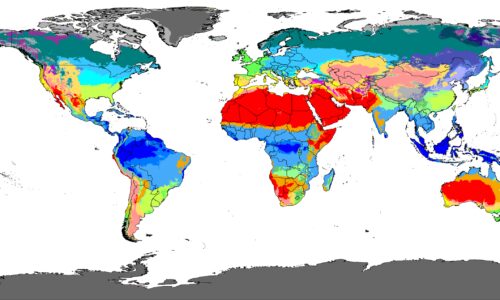
Study of the distribution of the Köppen climate classification in the Central System for the period 1990-2019.
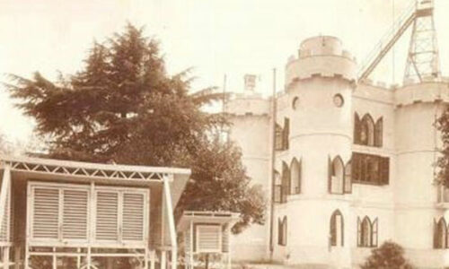
Climatic study involving the creation of over 40 climate profiles of long-established weather stations in the Central System.
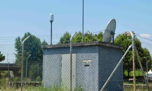
The SAIH Network in the Central System is responsible for monitoring the amount of water present in the basins of the Tajo and Duero rivers. Its instruments include rain gauges, flow measurements, gauging stations, and reservoirs.
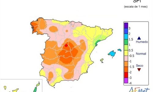
Study of the distribution of drought months in the Central System for the period 1990-2019.
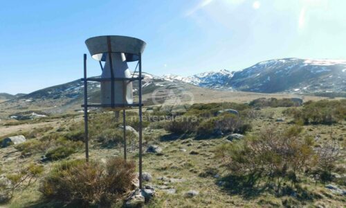
Totalizing rain gauges are historical instruments used in mountainous areas to measure the amount of precipitation that falls in these regions. They were primarily used by hydroelectric companies to plan the construction of reservoirs, with data typically collected once a year.
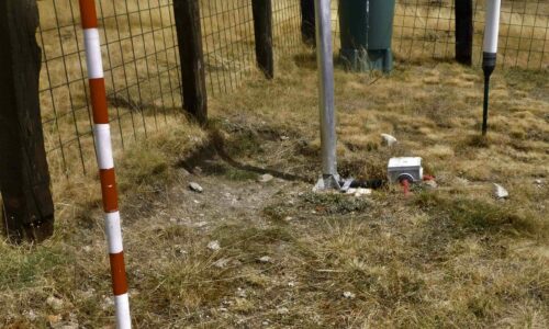
Climatic study on snow cover in the Central System and instrumentation deployed by the AEMET, ERHIN, and GUMNET networks.
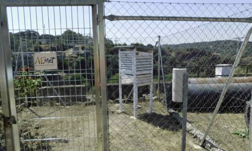
Distribution of all the weather stations that are part of the AEMET network in Spain: pluviometric, thermometric, complete, and automatic.
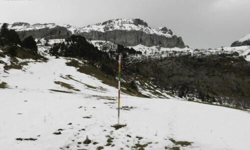
Location of the complete network of snow poles and snow depth sensors of the ERHIN Program in Spain.
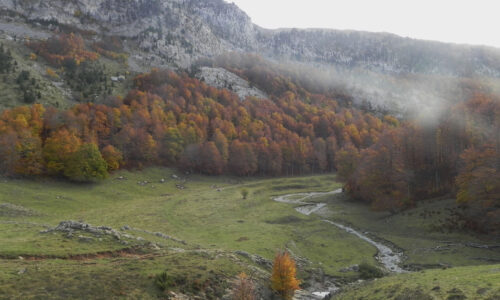
Analysis of climatic averages for the period 1986-2015 in pure and mixed stands of European beech (Fagus sylvatica) and Scots pine (Pinus sylvestris) in Spain.
Maps
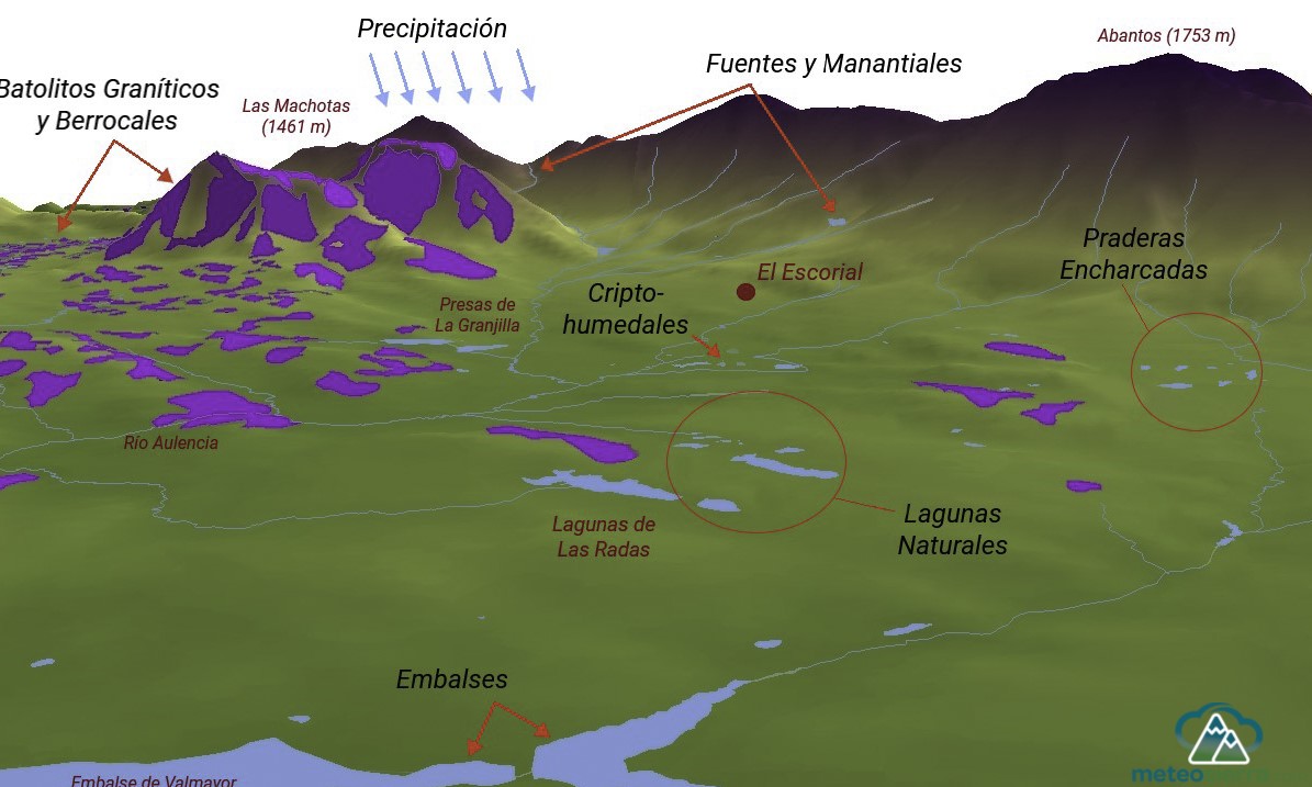
3D maps developed with ArcGIS that visualize geographic information along with complementary layers such as hydrography or terrain lithology.
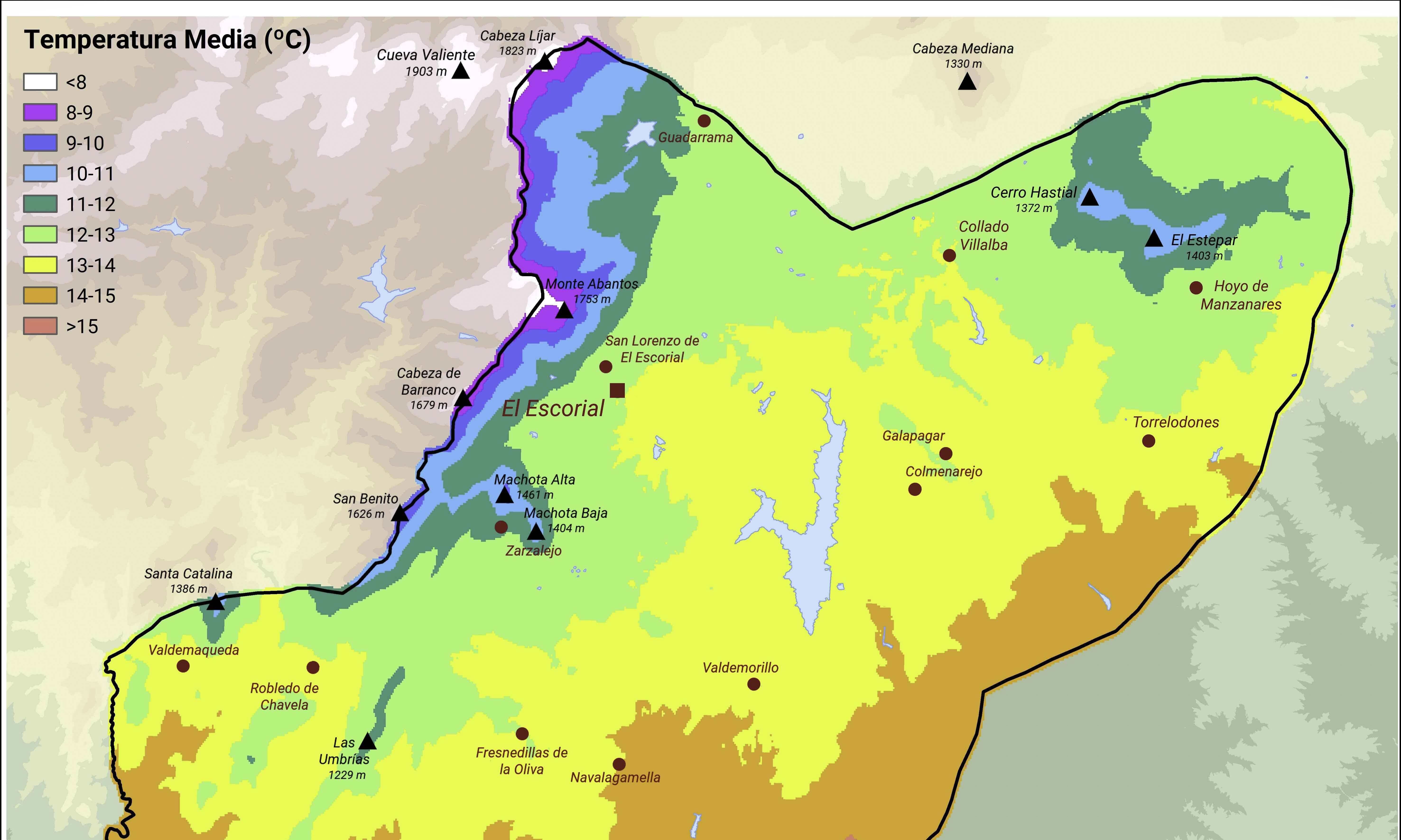
These climate maps have been developed using GIS with ArcGIS, and the climate information has been obtained from proprietary data using various interpolation methods.
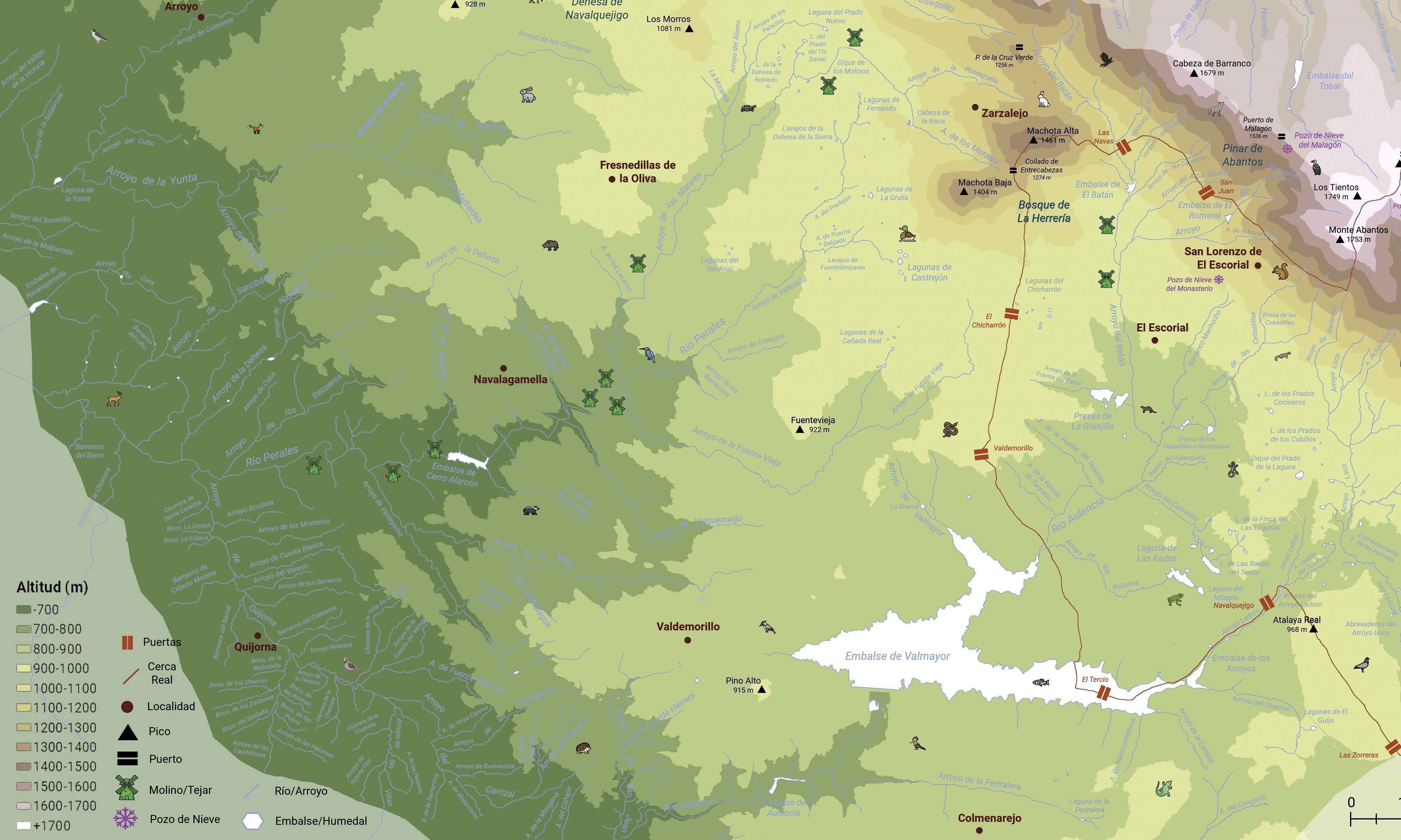
Collection of 2D maps with various thematic layers. Some of these layers have been sourced from official sources such as government agencies, while others have been created independently through the development of tiles or vectors based on terrain analysis.
Topographic Viewers
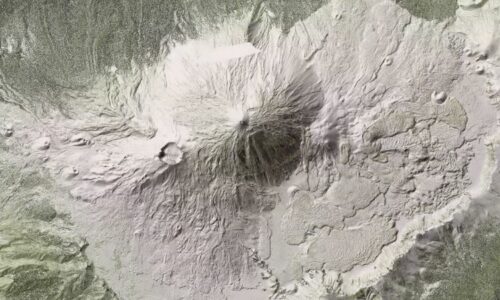
This viewer displays the LiDAR map generated from a point cloud: the Digital Surface Model, the Vegetation, and the Buildings and Surface Water Rasterization.
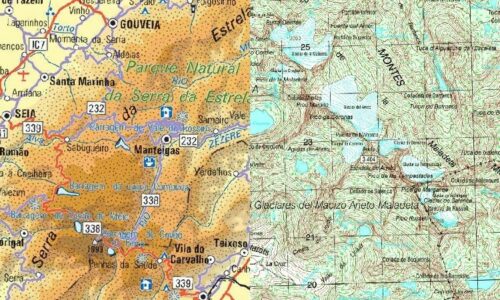
This viewer combines military maps of Spain and Portugal at various scales.
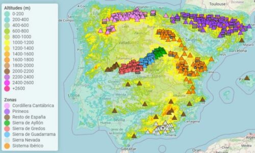
The elevation viewer of Spain displays tiles in altitude ranges of 200 meters and highlights the main mountain passes and peaks of the different mountain ranges.
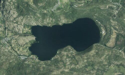
This viewer displays the Most Recent Orthophoto from the PNOA (National Plan for Aerial Orthophotography).
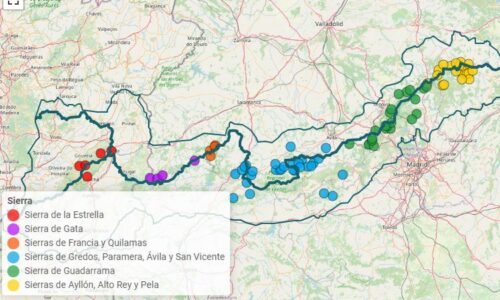
This map highlights the highest villages in the Central System, as well as mountain complexes, residential developments, and other notable towns.
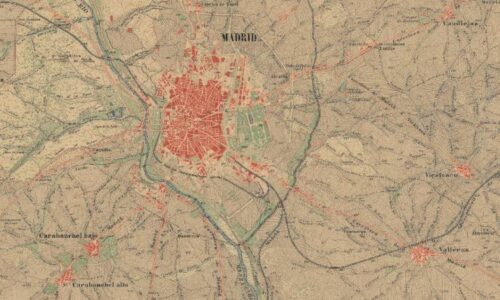
First edition of the National Topographic Map (MTN50), created between 1875 and 1968.
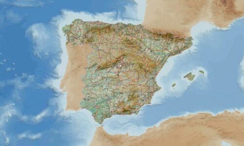
This viewer allows you to consult the National Topographic Map (MTN) of the IGN at various scales.
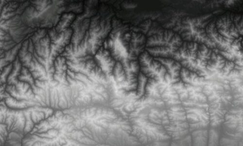
The Digital Terrain Model (DTM) is generated from LiDAR points with a grid spacing of 2/5 meters and shows the terrain’s relief without obstacles (such as forests or buildings).
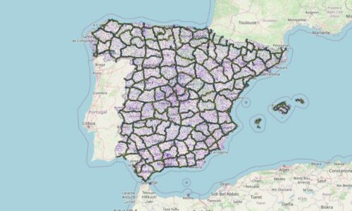
This viewer displays the geodetic vertices of the ROI, REGENTE, ERGNSS, and REDNAP networks. These points, typically marked with boundary stones on mountainous elevations or hills, are spread throughout Spanish territory and are essential for accurately establishing coordinates.
Environmental Viewers
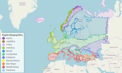
The biogeographical regions are areas defined by similar biotic and abiotic characteristics. This viewer displays all the terrestrial biogeographical regions of the European continent according to the European Environment Agency.
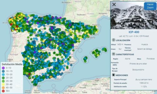
The forest plots are dedicated to the study and collection of forestry information. The network is composed of plots from National Parks, Autonomous Communities, and the European Union (ICP-Forest).
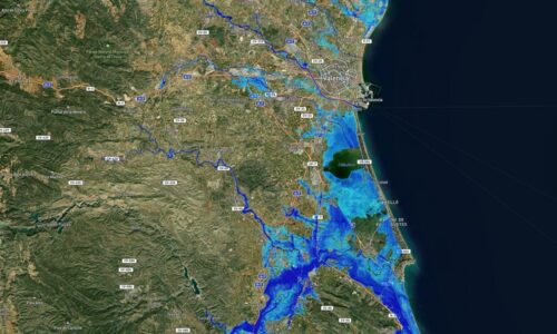
This Flood Risk Areas Viewer displays flood hazard and risk in Spain for different return periods (10, 50, 100, and 500 years).
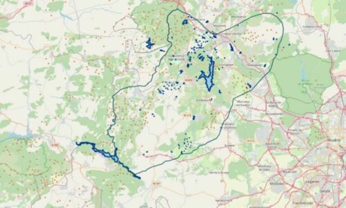
This viewer of the Madrid Foothills displays all the cataloged wetlands in the foothills of the Guadarrama Mountains in its most western sector.
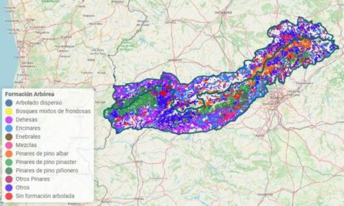
This viewer displays the different vegetation formations of the Central System according to the Forest Map of Spain at a 1:25,000 scale.
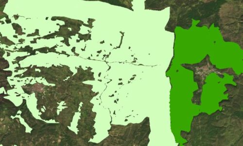
This viewer displays the catalog of Public Utility Mountains (MUP) and their ownership, visible from a scale of 1:65,000.
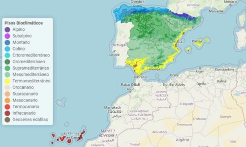
This viewer displays the distribution of the bioclimatic floors recognized in Spain by Rivas Martínez.
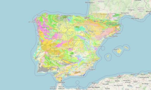
This viewer displays the Geological Map of Spain at two scales: low resolution (1:1,000,000) and high resolution (1:50,000).
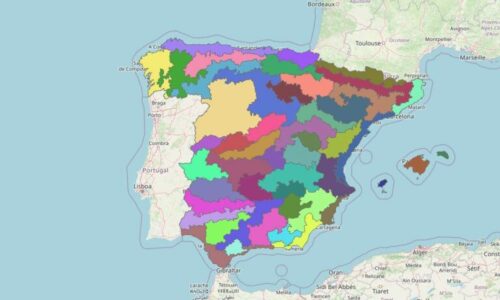
Origin Regions are geographical delimitations that encompass similar ecological conditions and contain specific forest species.
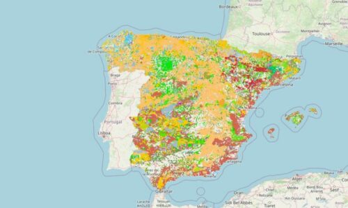
Habitats of Community Interest (HCI) are various habitats defined under the EU Habitats Directive due to their threatened status, reduced natural distribution, or because they are a representative example of a specific biogeographic region.
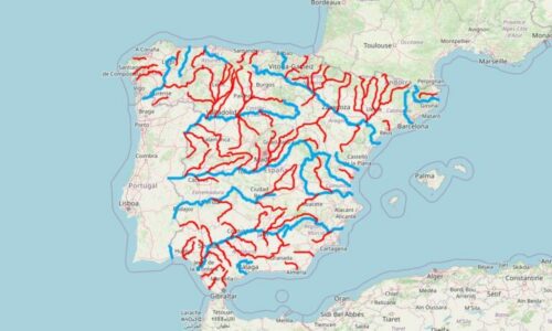
This viewer displays the main rivers of Spain along with their tributaries, as well as the approximate length of each river.
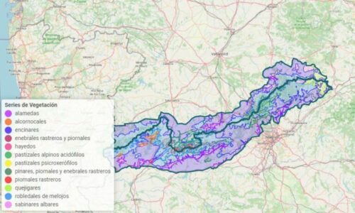
This viewer displays the main vegetation formations corresponding to the vegetation series of Rivas Martínez (scale 1:400,000).
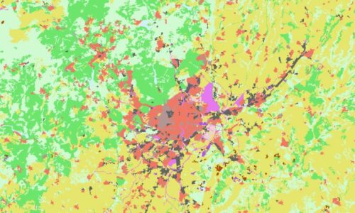
Land use and occupation in Spain according to CORINE and SIOSE.
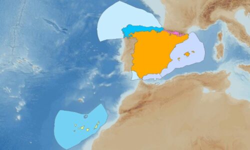
This viewer displays the terrestrial and marine biogeographical regions of Spain according to the European Environment Agency.
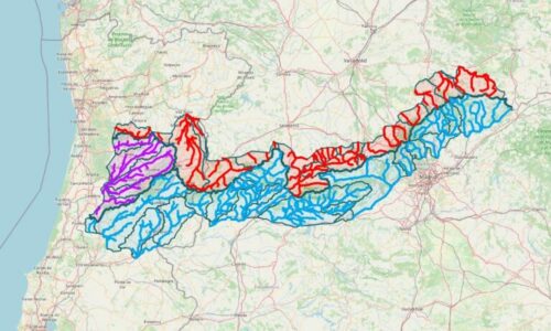
This viewer displays the main rivers of the Central System divided into sub-basins within the watersheds of the Duero, Tajo, Mondego, and Vouga rivers.
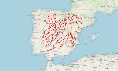
Drove Roads are traditional paths that have been used for centuries in the Iberian Peninsula for cattle movement.
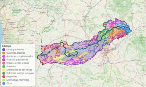
This viewer displays the various lithological units of the Central System based on the Geological Map of Spain at a scale of 1:1,000,000.
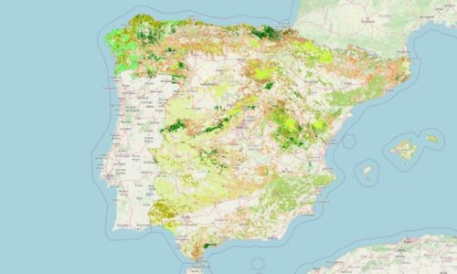
The Forest Map of Spain, visible at a scale of 1:65,000, identifies various tree formations: including pure stands, mixed stands, dehesas, riparian forests, and reforestation areas.
Protected Areas Viewers
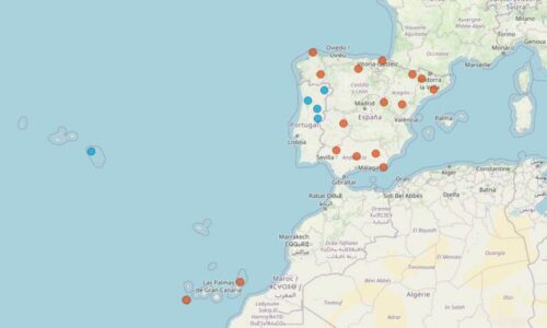
Geoparks are areas with a network of sites of geological significance, as well as ethnographic, ecological, or cultural importance. This viewer displays the Geoparks of Spain and Portugal.
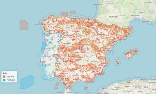
This viewer displays all the SCAs (Special Conservation Areas) and SCIs (Sites of Community Importance) in Spain and mainland Portugal.
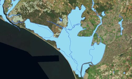
This viewer displays all the areas declared within the Spanish Wetlands Inventory (IEZH).
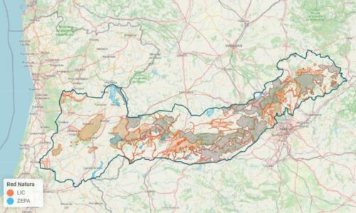
This viewer displays in tiles all the SAC/SPA/SCI areas that make up the Natura 2000 Network in the Portuguese and Spanish Central System.
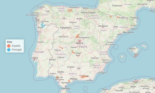
This viewer displays the location of National Parks in Spain and Portugal, their area in hectares, and their year of designation.
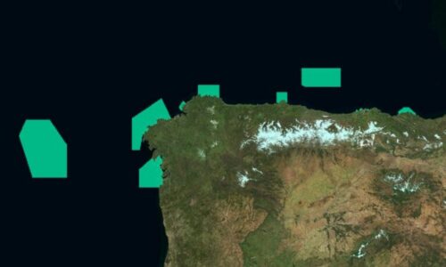
The OSPAR Network includes all marine protected areas designated under the Convention for the Protection of the Marine Environment of the North-East Atlantic, held in Oslo and Paris in 1992.
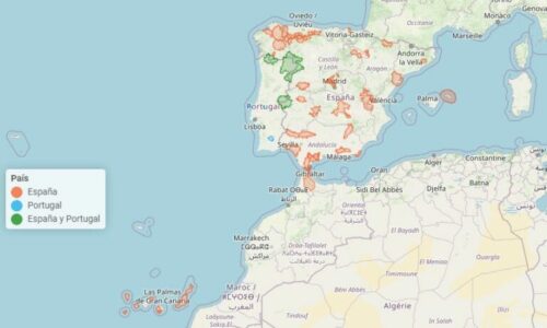
This viewer displays all the UNESCO-declared Biosphere Reserves in Spain and Portugal. Biosphere Reserves are protected areas that combine biodiversity conservation with sustainable development.
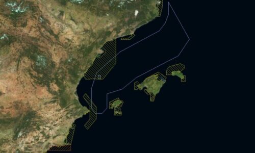
Marine Protected Areas encompass all protected spaces in the marine environment regulated by international, European, national, or regional regulations.
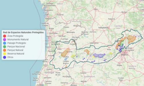
This viewer displays all the Protected Natural Areas (PNAs) of the Central System in tiles.
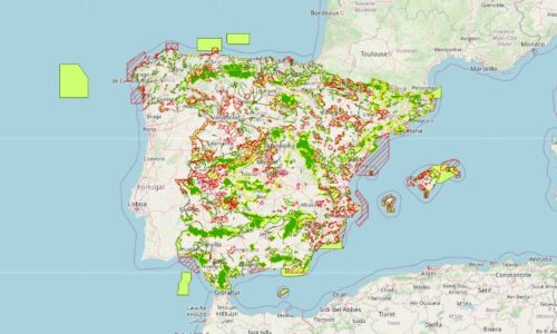
This viewer displays the Sites of Community Importance (SCI), Special Areas of Conservation (SAC), and Special Protection Areas for Birds (SPA) that make up the Natura 2000 Network in Spain.
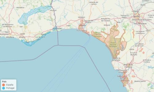
This viewer displays the Ramsar Wetlands of Spain and Portugal, areas designated by UNESCO for their International Importance and significant ecological value.
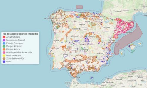
This viewer displays all the Protected Natural Areas (PNA) in Spain and Continental Portugal.
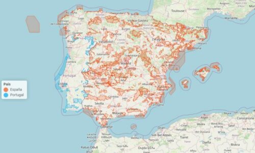
This viewer displays all the SPA (Special Protection Areas for Birds) across Spain and Continental Portugal.
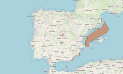
This viewer displays the areas that make up the ZEPIM (Specially Protected Areas of Mediterranean Importance) network in Spain.
Glacier Viewers
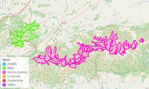
This viewer displays the location of the 100+ glaciers that developed in the Central System during the Upper Pleistocene Ice Age.
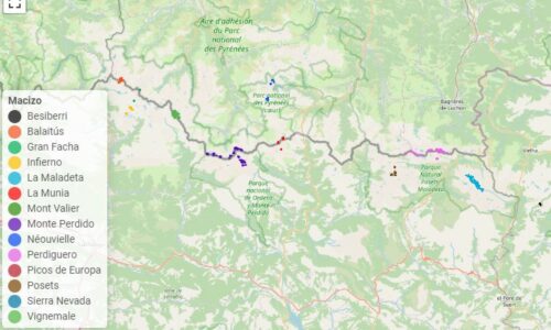
This viewer identifies the extent of the current Pyrenean glaciers, those that have disappeared in recent decades, as well as the ice patches of the Picos de Europa and the rock glacier of Veleta (Sierra Nevada).
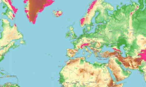
This viewer contains information from the Global Land Ice Measurements from Space (GLIMS) on the location of all current glaciers and those who have disappeared in recent decades.
Natural Disaster Viewers
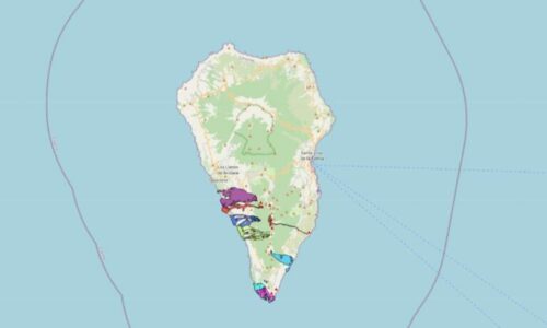
This viewer displays historical eruptions that have occurred in the Canary Islands from 1585 to the present, as well as the area affected.
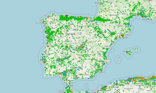
Global map of wildfires from the past 7 days, along with additional informational layers obtained from EFFIS (European Forest Fire Information System).
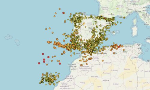
This viewer displays earthquakes that have occurred in Spain and its surroundings over the past 10, 30, and 365 days. Data obtained from the IGN (National Geographic Institute).
Web
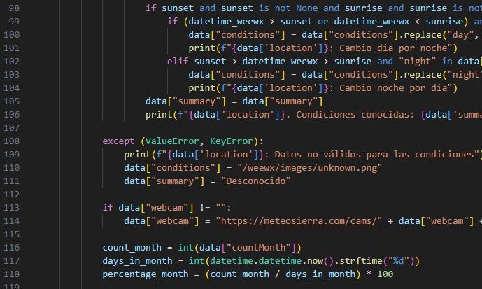
Creation of the meteosierra.com portal, handling Backend development (Python, PHP) and Frontend (HTML, CSS, JavaScript), server management, WordPress administration, site optimization and security, SEO, and management of Google tools (Ads, Adsense, Analytics, Search Console, Tag Manager).
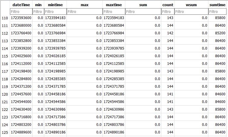
Creation and maintenance of over 20 databases, ensuring data quality through constant error and inconsistency cleansing.

Generation of daily and monthly timelapses and automated dissemination on social media.
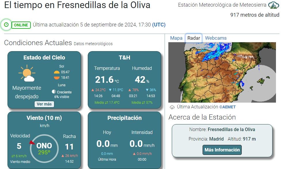
Design of weather station pages using Bootstrap 5.

Design of webcam pages using Bootstrap 5.
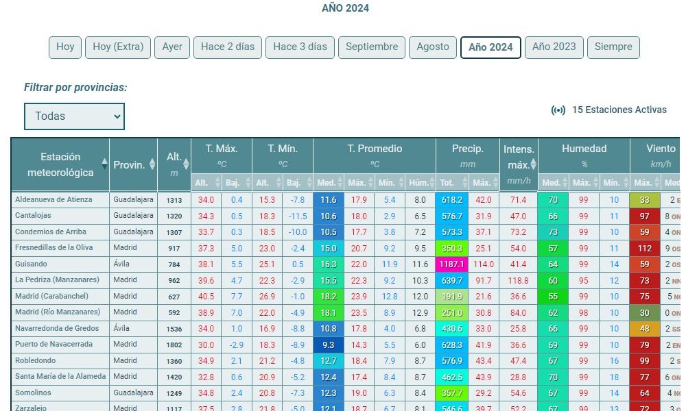
Unified view of all data from the weather network through table design using Datatables.
Photography
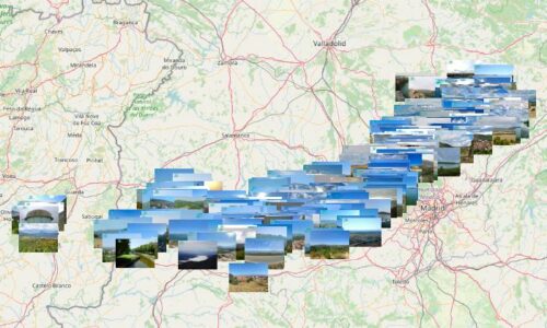
Collection of highlighted panoramic and non-panoramic photos of the Central System. Each photograph includes information about the views and provides access to other photos.
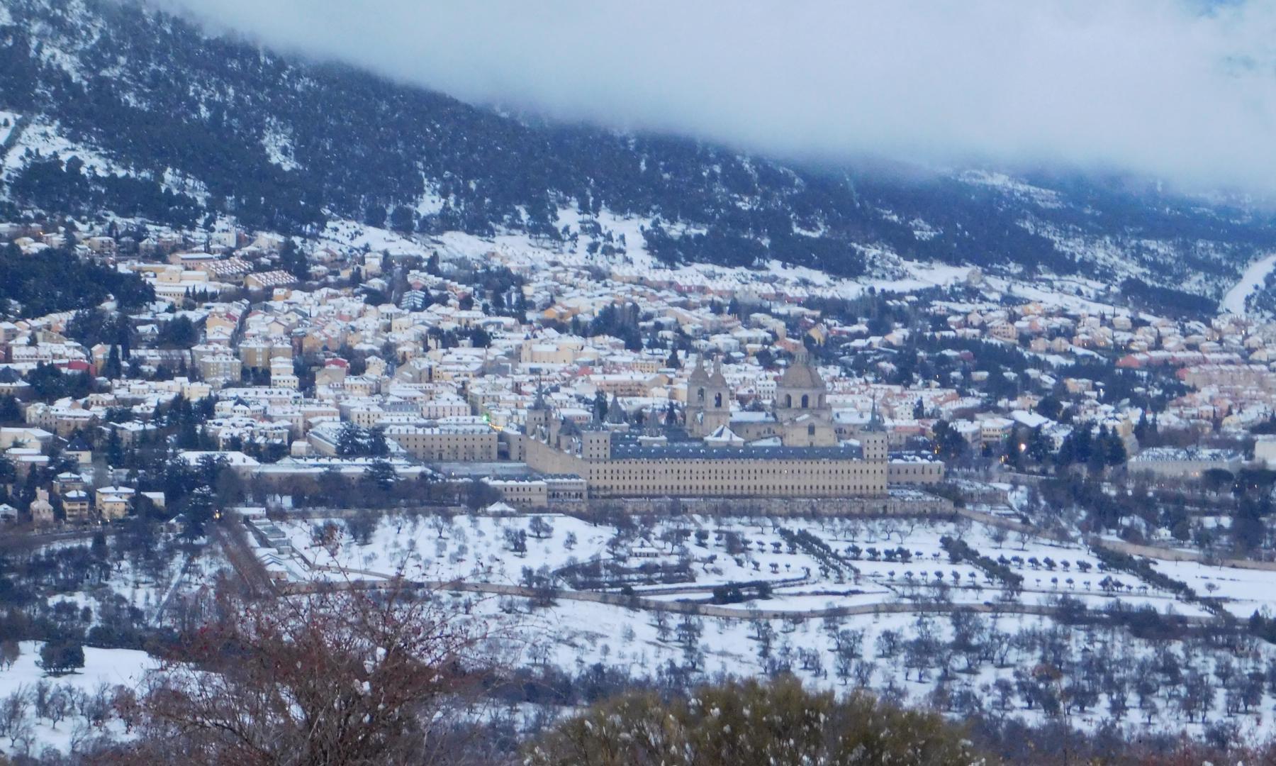
Collection of photos of the Central System in December, January, and February.
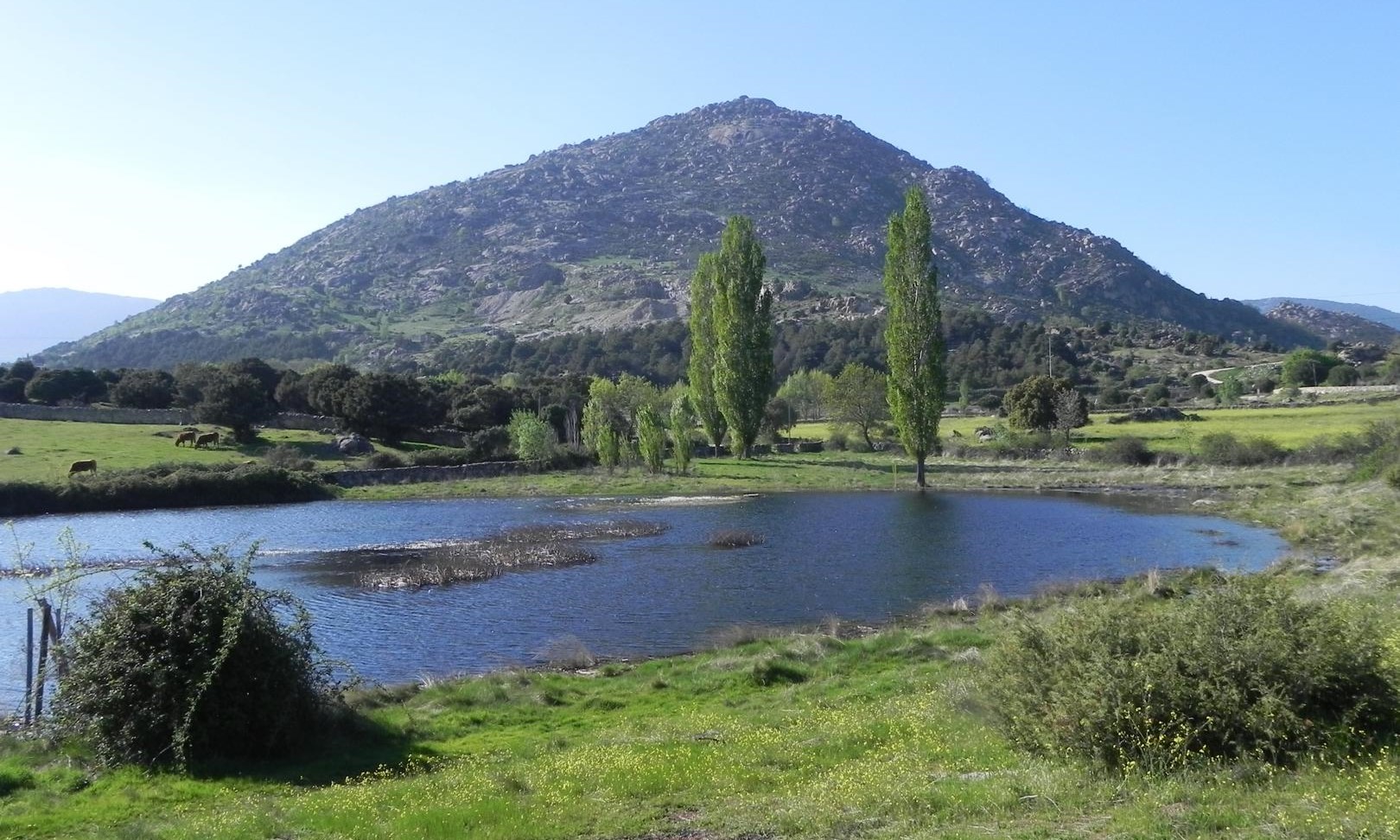
Collection of photos of the Central System in March, April, and May.
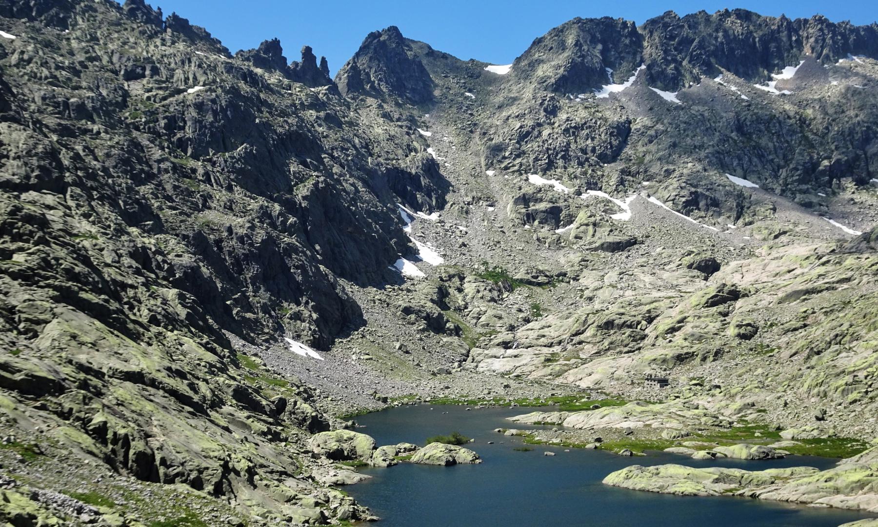
Collection of photos of the Central System in June, July, and August.
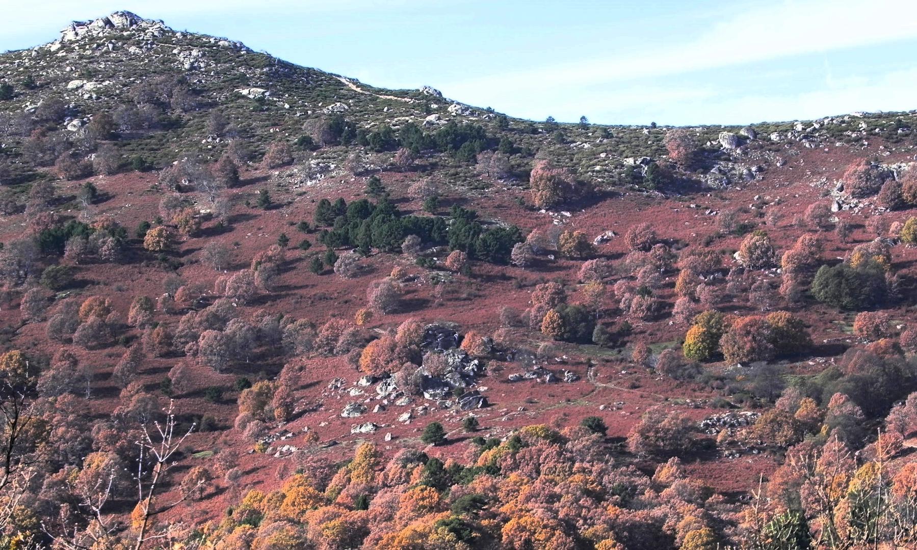
Collection of photos of the Central System in September, October, and November.
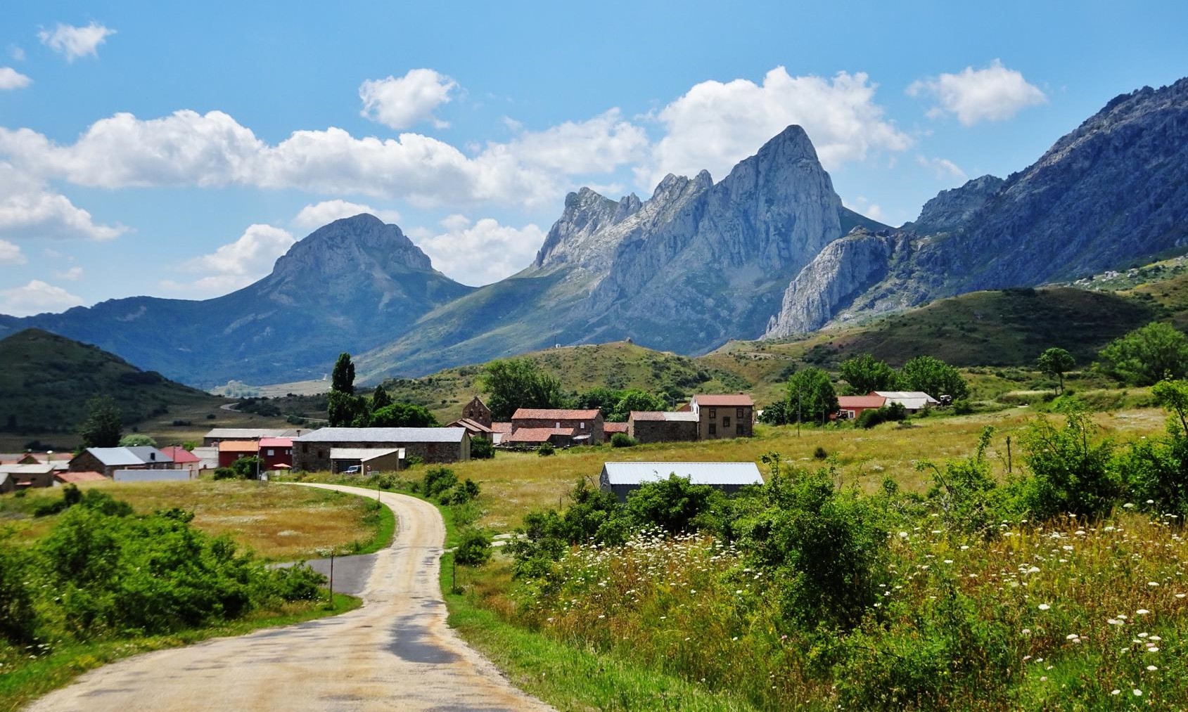
Collection of photos of Spain.

Collection of photos of Europe.
Publications
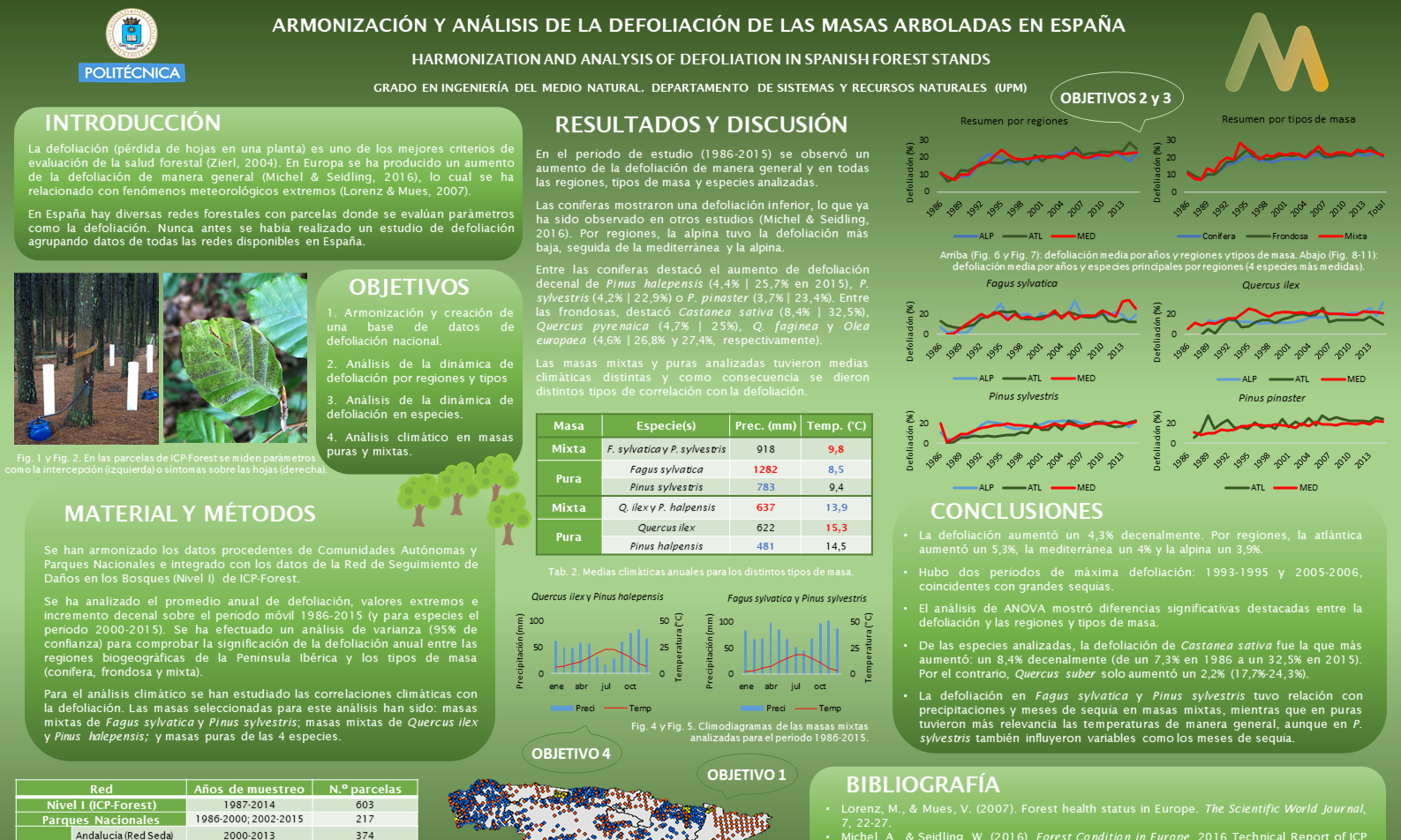
Creation of a forest health database for over 2800 plots in Spain, analysis of defoliation by biogeographical regions, and climate analysis by species in pure and mixed stands.
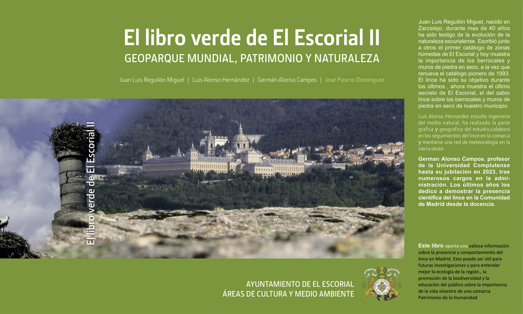
A work that highlights the historical and natural richness of the Escurialense region, from the Cerca de Felipe II and the «Bedado» de Caza Real of 1793 to its fauna, featuring the iconic Iberian lynx. It includes a pioneering catalog of 200 wetlands and proposes the creation of a UNESCO Global Geopark due to its significant batholiths and rocky outcrops, emphasizing the collective responsibility for its conservation.
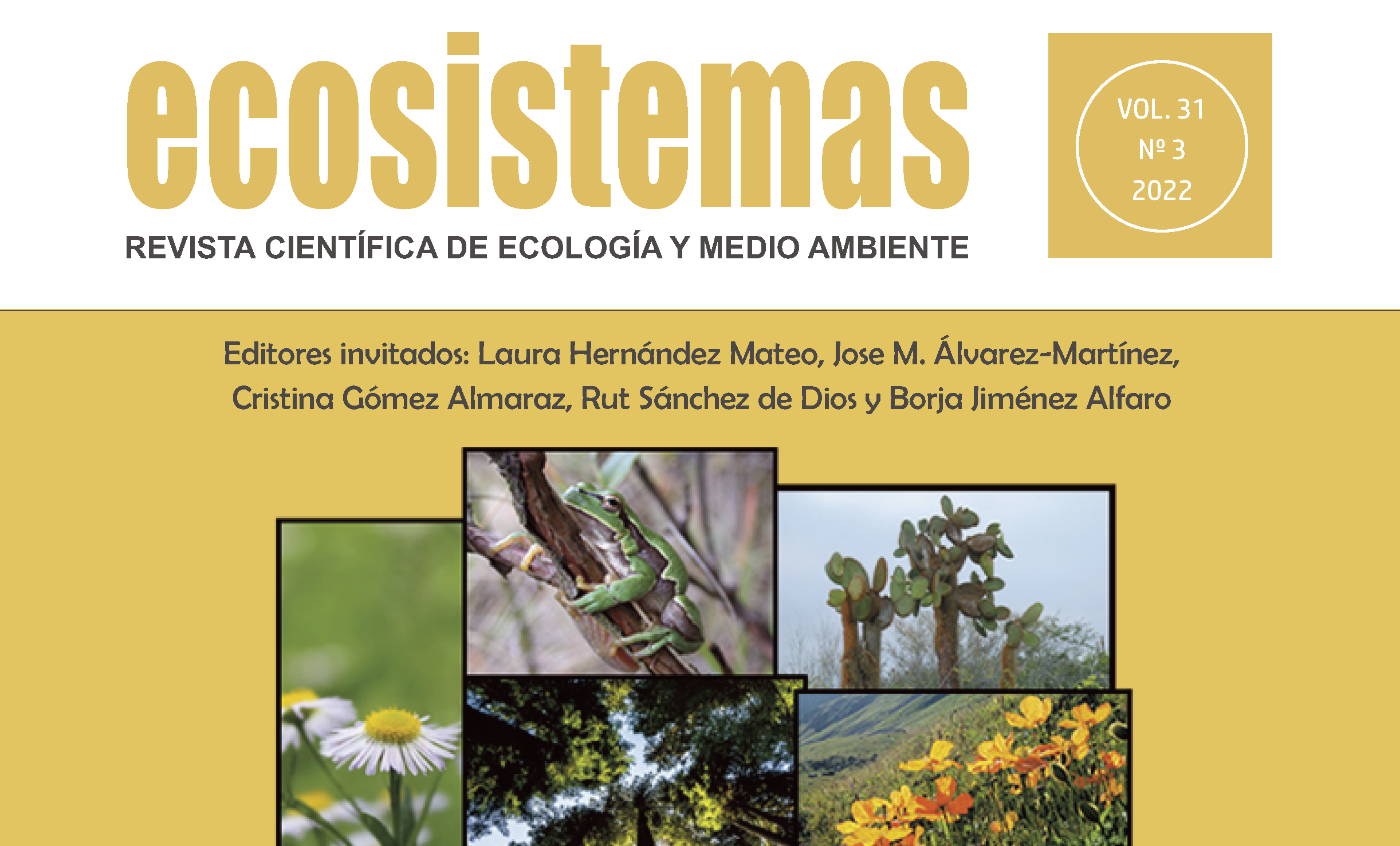
Analysis of defoliation in conifers and broadleaf trees in Spain as an indicator of forest health. Using data from various networks between 1986 and 2015, the results show a significant increase in defoliation and highlight the importance of integrating this information for sustainable long-term forest management.
Education
DEGREE IN ENVIRONMENTAL ENGINEERING
Technical University of Madrid (UPM) | 2014-2019
240 ECTS.
CERTIFICATE IN MOUNTAINEERING AND CLIMBING INSTRUCTION
Madrid Ski Training Center (CFEM) | 2019
420 hours.
CERTIFICATE IN ALPINE SKIING INSTRUCTION
Madrid Ski Training Center (CFEM) | 2019
465 hours.


